Offline Map Maker is a tool that helps you to view online maps in one integrated window and get offline maps images from many maps providers, including 4000+ maps types:
!Custom Map Type, Alpenkarte.eu, Amudanan.co.il (Israel), Apple Maps, Arcanum Maps, Arcgis Online, Arkansas GIS Offlice Map (USA), Atlas.harita.gov.tr (Turkey), Austrian Map, Baidu Map (China), Balad.ir, Basemap.at Karte (Austria), Basemap.de, BBBike Map Compare, Bergfex.at, BGMountains Online Maps (Bulgaria), Bhumi.atrbpn.go.id (Indonesia), Bhuvan-2D (India), Bing Maps, Box Locator Map, CalTopo, Camapka.ru, Carte-Geoportail, CARTO Basemaps, City of Cape Town (South Africa), CoCoRaHS Maps, Connecticut Environmental Conditions Online (USA), Cyberjapandata.gsi.go.jp, Cycle.travel, Cyclosm.org, Data.shom.fr, David Rumsey Historical Map Collection, Discover GIS Data NY (NewYork, USA), Ditu.so.com (China), Dituhui.com (China), Earth.jl1.cn, Eniro(kartor.eniro.se), EOX Maps, Esri Netherlands Content, FINN Kart, Freemap Slovakia, FY-3D Global Image, GAIA GPS Maps, Gaode Map (www.amap.com China), GeaMap.com, Geo.be Map, Geobru.irisnet.be (Belgium), Geofabrik OSM Inspector, Geogratis.gc.ca, Geokatalog.buergernetz.bz.it (Italy), Geoportail.wallonie.be, GeoPortal CGIS Qatar, Geoportal PH (Philippines), Geoportal Sachsenatlas (Germany), Geoportal.ancpi.ro (Romania), GeoPortal.MV, GEOportal.NRW, Geoportale Nazionale (Italy), Geoscience Australia, Geoviewer.sachsen.de, GEOVIS Earth (China), Getlost Maps Live (Australia), Gezgin.gov.tr, Gis.rchss.sinica.edu.tw, Gis3.nve.no, Gisro.donland.ru, GoMap.Az (Azerbaijan), Google Maps, GovMap Israel Maps, Gps.tile.openstreetmap.org, GraphHopper Maps, Here Maps, HGSS Cartography (Croatia), HiFleet, Hillshade - OpenStreetMap US Tileservice, ICGC Vissir3 (Catalunya, Spain), Icgc.cat, Ideihm.covam.es, Ign.es (Spain), Ign.gob.ar, Imagico.de maps, Isprambiente.it, Israel hiking map, Jawg Maps, Kakaomap - Daum Map (South Korea), Kanton Aargau (Switzerland), Kanton Solothurn (Switzerland), Kanton Zug (Switzerland), Kanton Zurich (Switzerland), Kartat.kapsi.fi (Finland), Karten von Attika, Kartogiraffe.de, Kartverket.no (Norway), Kompass.de, Kort-krak.dk, Kort.lmi.is (Iceland), Kortoverblik.dk, LA County (Los Angeles, USA), Lantmateriets Fjallkarta (Swedish), Light pollution map, Location SA Map Viewer (South Australia), Longdo Map (Thailand), Lvmgeoserver.lvm.lv (Latvia), MAA-AMET (Estonia), Make A Topographic Map (Canada), Map of cities of UAE - 2GIS, Map of Serbia, Map Warper - mapwarper.onki.fi, Map Warper - mapwarper.prov.vic.gov.au, Map Warper - warper.wmflabs.org, Map Warper - www.mapwarper.net, Map.geoportail.lu, Map.geoq.cn (China), Map.meta.ua, Map.turistautak.hu, Map.valentim.org (Portugal), MapAnt (Finland), Mapas.bogota.gov.co (Colombia), Mapbox, MapFan (Japan), Mapion (Japan), Mappls (India), Mappy.com, MapQuest Map, Maps of Switzerland, Maps-for-free.com, Maps.eatlas.org.au (Australia), Maps.lt (Lithuania), Maps.nlsc.gov.tw, Maps.rlp.de, Maps.stamen.com, MapSite (NLS of Finland), Maptoolkit, Mapy.cz, Mapzs.pzs.si (Slovenia), Mesa County GIS Viewer (CO, USA), Mierune map (Japan), Min Karta (Sweden), MinView (Australia), Moovit, MOSCOWMAP (Russia), MTBmap.cz, MTBmap.no, MyGeoMap (Malaysia), Nakarte.me, Napr Maps (Georgia), NASA GIBS, National Library of Scotland (maps.nls.uk), National Map (Australia), Naver Map (South Korea), Navitel.Maps, New HK Maps, New Zealand Gazetteer, New Zealand Topographic Maps, Ngi.be (Belgium), NL Maps (Netherlands), Norgeskart (Norway), North Carolina Maps (USA), Norwegian Polar Institute, Nostra Map (Thailand), NSW Historical Imagery (Australia), NSW SIX Maps (Australia), NZ Topo Map, Omniscale, Onemap (Singapore), Online Maps for China, Open Data DC (USA), OpenAerialMap, OpenCycleMap.org, OpenFireMap, Openmaps.fr, OpenRailwayMap, OpenSeaMap, OpenSnowMap, OpenStreetMap, OpenStreetMap Foundation Japan, OpenStreetMap.FR (France), Orda.of.by, OSGeo.cn (China), OSM deutscher Stil, Osm.rrze.fau.de, Osm.rrze.fau.de HD, Osmand.net, Parselsorgu.tkgm.gov.tr (Turkey), PDOK Viewer (Netherland), Petal Maps, PhilaGeoHistory Maps (Philadelphia, PA, USA), PhoneMaps, Polska.geoportal2.pl (Poland), Portland Maps (Portland, USA), Publictransportmap.org, QA Tools (qa.poole.ch), Queensland Globe (Australia), Reit-und Wanderkarte (Hiking and Trail Riding Maps), Retromap.ru, Roscosmos Geoportal, S2maps.eu, SafeCast Map, SanGIS - (San Diego, USA), ScanEx Web Geomixer, Scgis.net, Scottish Index of Multiple Deprivation, Search.ch map, Sedecatastro.gob.es (Spain), Sentinel Explorer, Sentinel-2 map, SePlan (Norway), Services.geodataonline.no, ShipDT, Shipxy.com, SIWEIearth, Skoterleder.org, Snowmobile routes and ruts in Finland (Kelkkareitit.fi), Solargis.com, Stadia Maps, Strava Global Heatmap, Supermap (China), Sverige karta, Swisstopo, Tencent Map (China), Terinfo.ujbuda.hu (Hungary), Terkep.torokbalint.hu (Hungary), TerraScope, Thailand maps, The National Map (USA), Thueringen Viewer, Thunderforest, Tianditu (China), Tianditu Beijing (China), Tianditu Guangdong (China), Tianditu Shanghai (China), TileServer GL, Top-o-Viewer, Topomapviewer.ngi.be, Topotijdreis.nl, Topotresc, Toronto Maps (Canada), Tracestrack, TuristickaMapa.sk, Turku.fi, TuttoCitta (Italy), UMP-PC.pl, Ut.no Kart, ViaMichelin, Vietbando Maps (Vietnam), Visicom Maps (Ukraine), Visor.gva.es, Vlaanderen.be (Belgium), Wanderservice-schwarzwald.de, Waymarkedtrails.org, Waze Livemap, Web_PowerLine_KedUR, Whereis Maps of Australia, Wikimapia, Wikimedia Maps, World Imagery Wayback, Yahoo Japan Maps, Yahoo Maps, Yandex Maps (Russia), Custom Map Styles of Bing Maps, Customized Google Maps, etc.
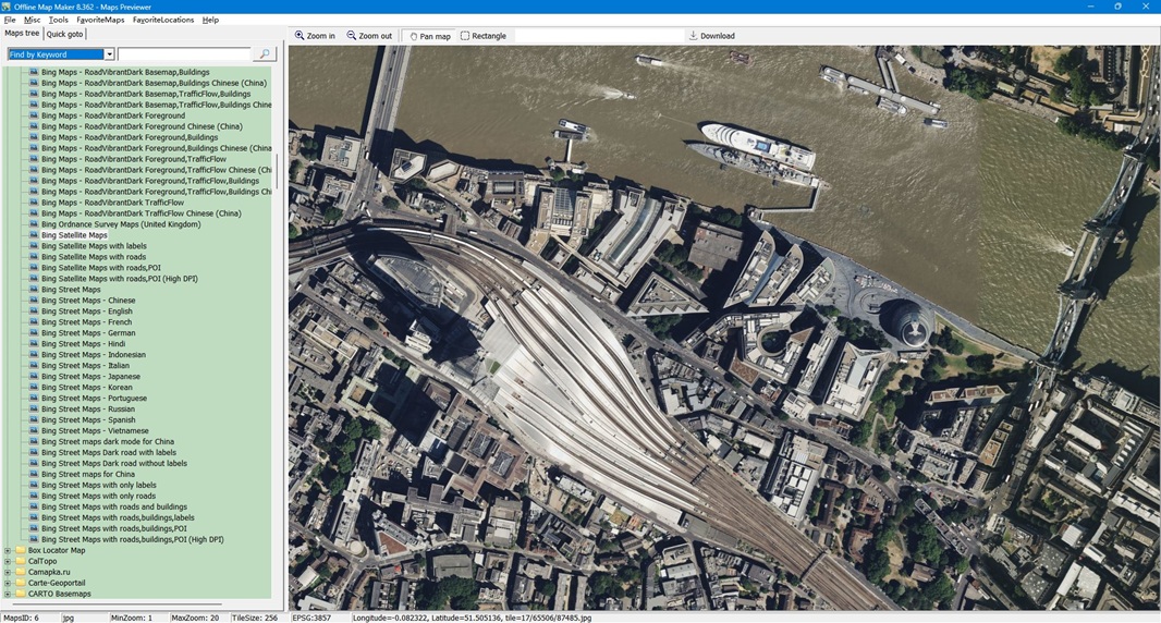
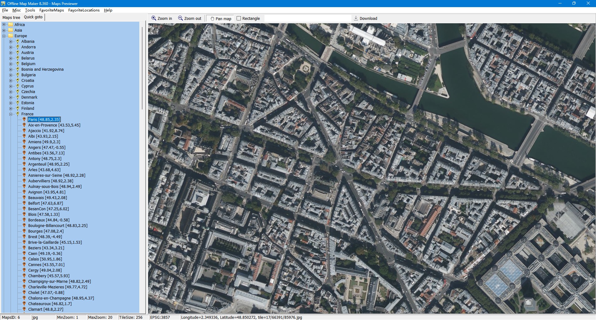
Offline Map Maker - Maps Previewer
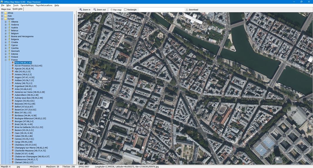
Offline Map Maker - Maps Previewer - Quick Goto
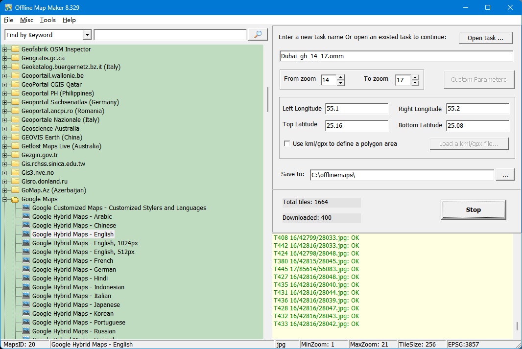
Offline Map Maker - Map Downloader
After downloading, there are some ways to view the offline maps:
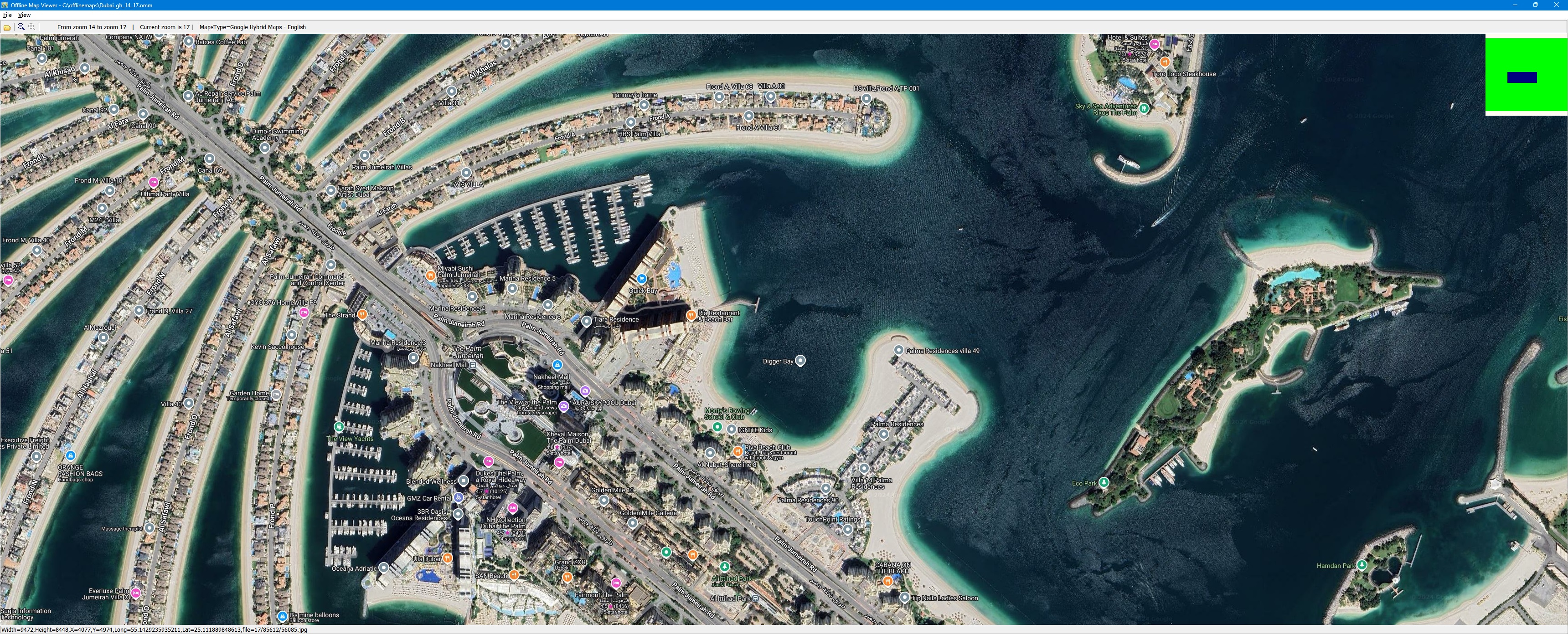
- You can view downloaded offline map by Offline Map Viewer, and zoom out or zoom in the offline map.
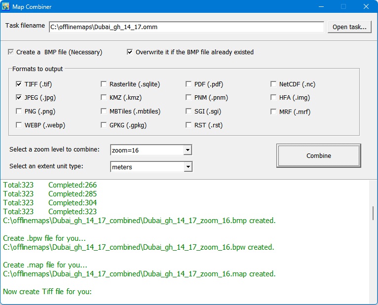
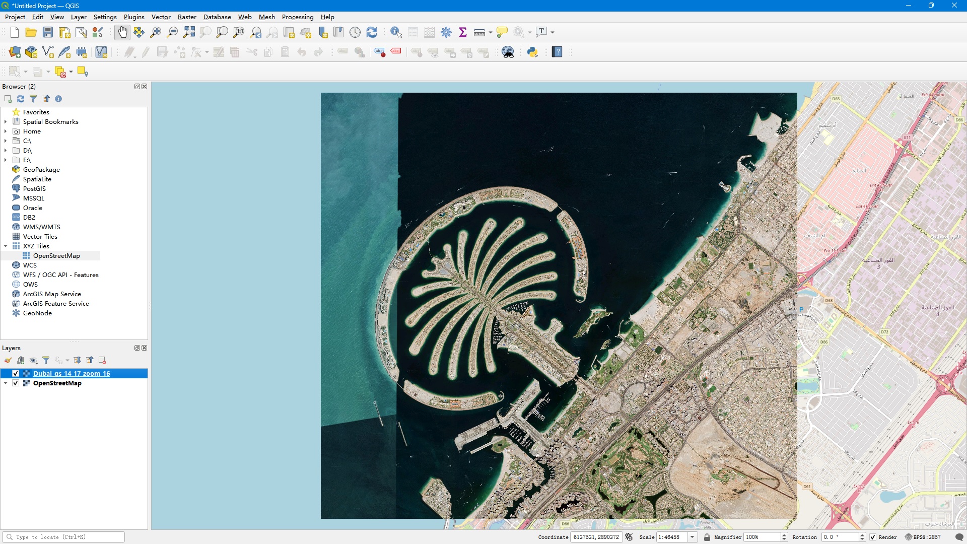
- Output the offline map as BMP,JPG,TIFF,PNG,SGI,IMG,RST,PNM,PDF,MBtiles,GPKG,WEBP,SQLITE,MRF,HDF,netCDF file.
- Output a xxx.map file for OziExplorer.
- Output a KMZ file for Garmin, etc.
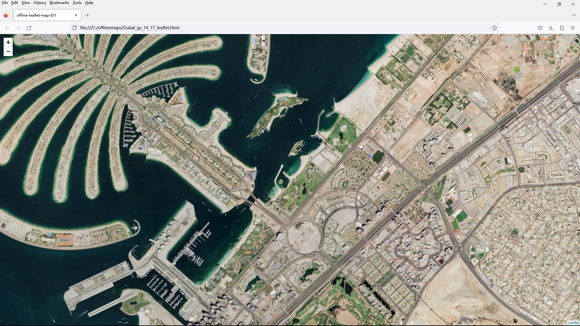
- For some map types, it can create html files for leaflet/openlayers/googleapi named as xxx.html, you can open these html files with IE/FireFox/Chrome, or you can build a web map server with them. If you copy all images and html files to Android mobile, or Windows Pad, you can view offline maps in them.
-
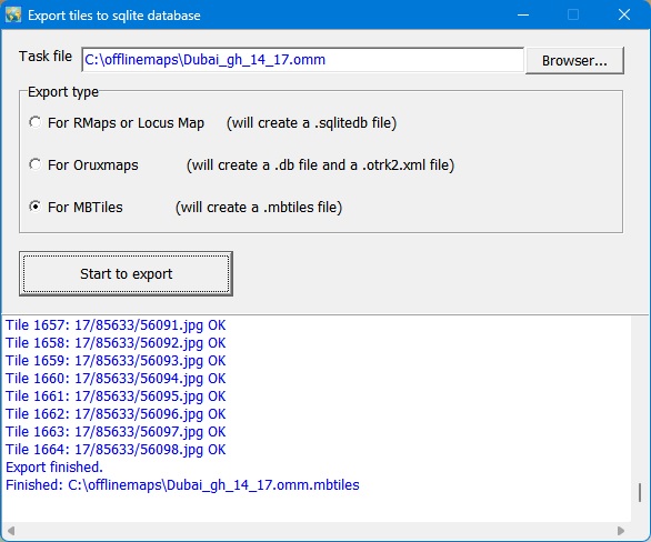
It can even export all tiles to a sqlite database with MBtiles format, then you use the sqlite db on some Android or iOS apps, such as MapBox, RMaps, Locus Map, Oruxmaps, etc.
- When you created a mbtiles file, you can view the mbtiles file with MBTiles Viewer.
If you want to make a offline map of your city or interested area by yourself, it is very useful for you.
It is very easy to use. Click here to see how to use it.
It is a shareware, trial version can't download high zoom level images. The max zoom level for trial version is 13.
It costs you only 79 USD!
|