| 序号 | 地图类型名称 | ID | 瓦片信息 | 瓦片样本 | 任务示例 |
|---|---|---|---|---|---|
| 1 | The National Map - Contours (United States,512px) | 703 | tile format: png zoom level:7-16 tile size: 512 |
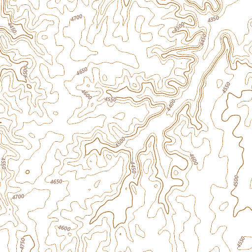 |
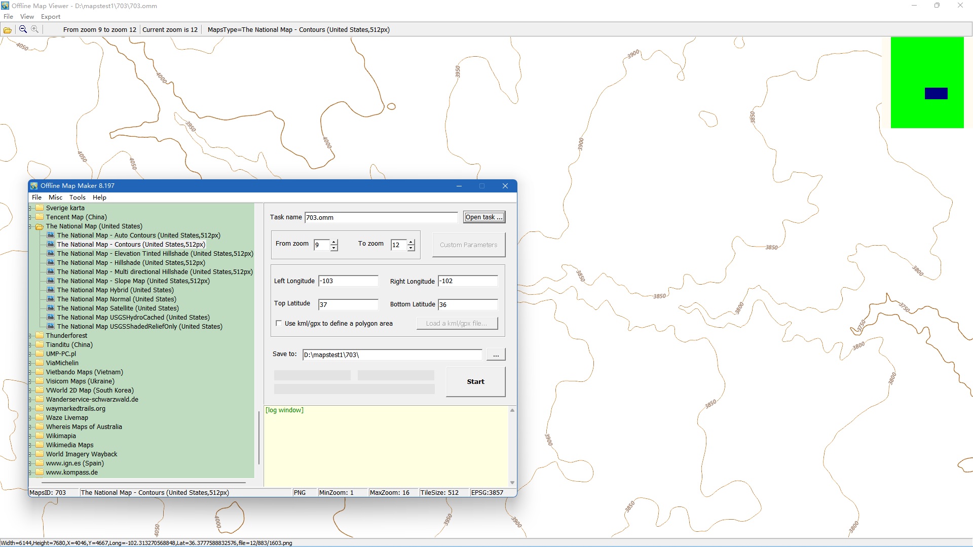 |
| 2 | The National Map - Elevation - Auto Contours (United States,512px) | 698 | tile format: png zoom level:1-16 tile size: 512 |
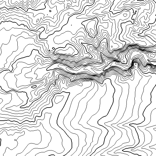 |
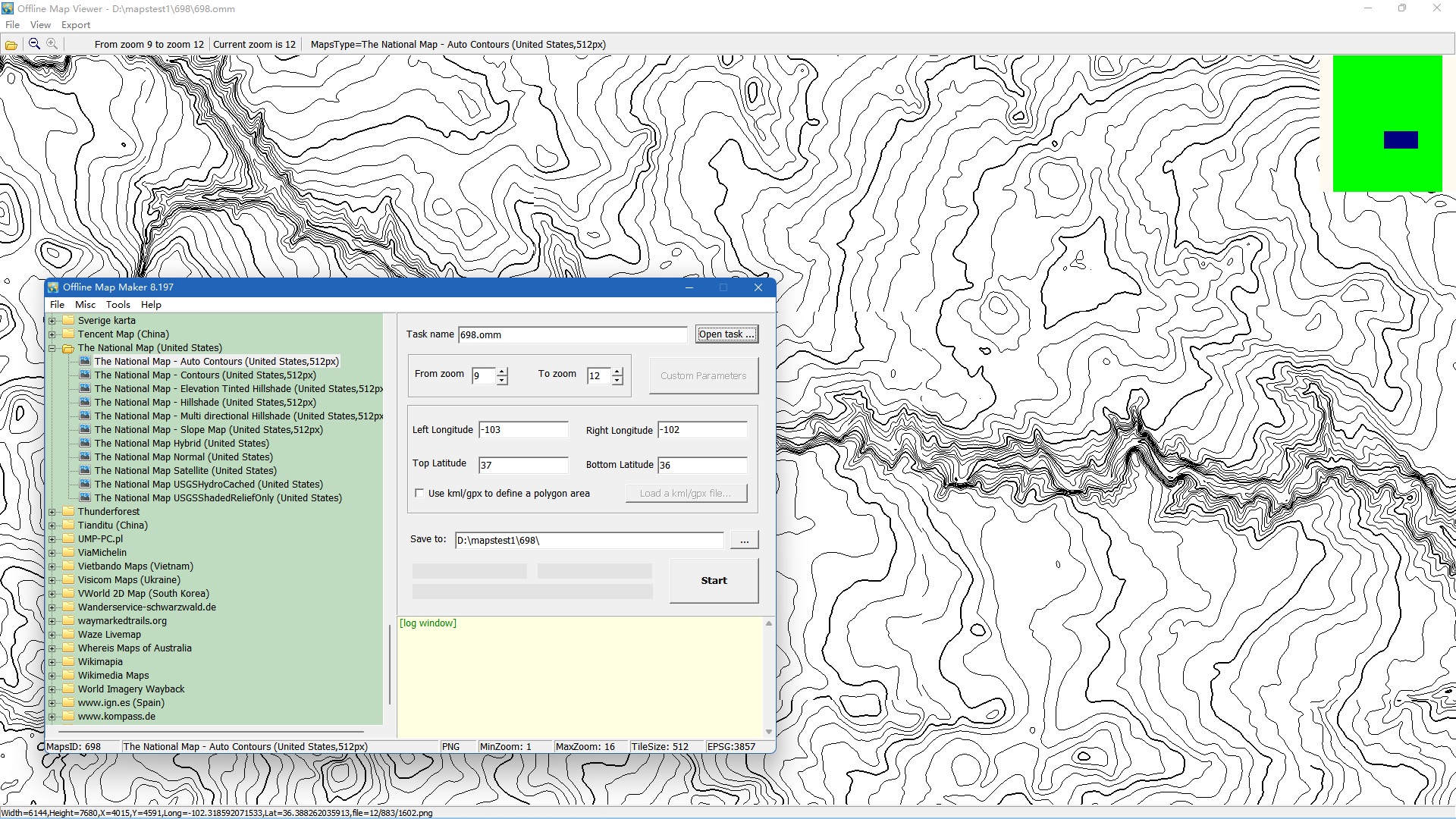 |
| 3 | The National Map - Elevation - Hillshade (United States,512px) | 702 | tile format: png zoom level:1-16 tile size: 512 |
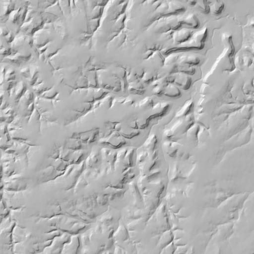 |
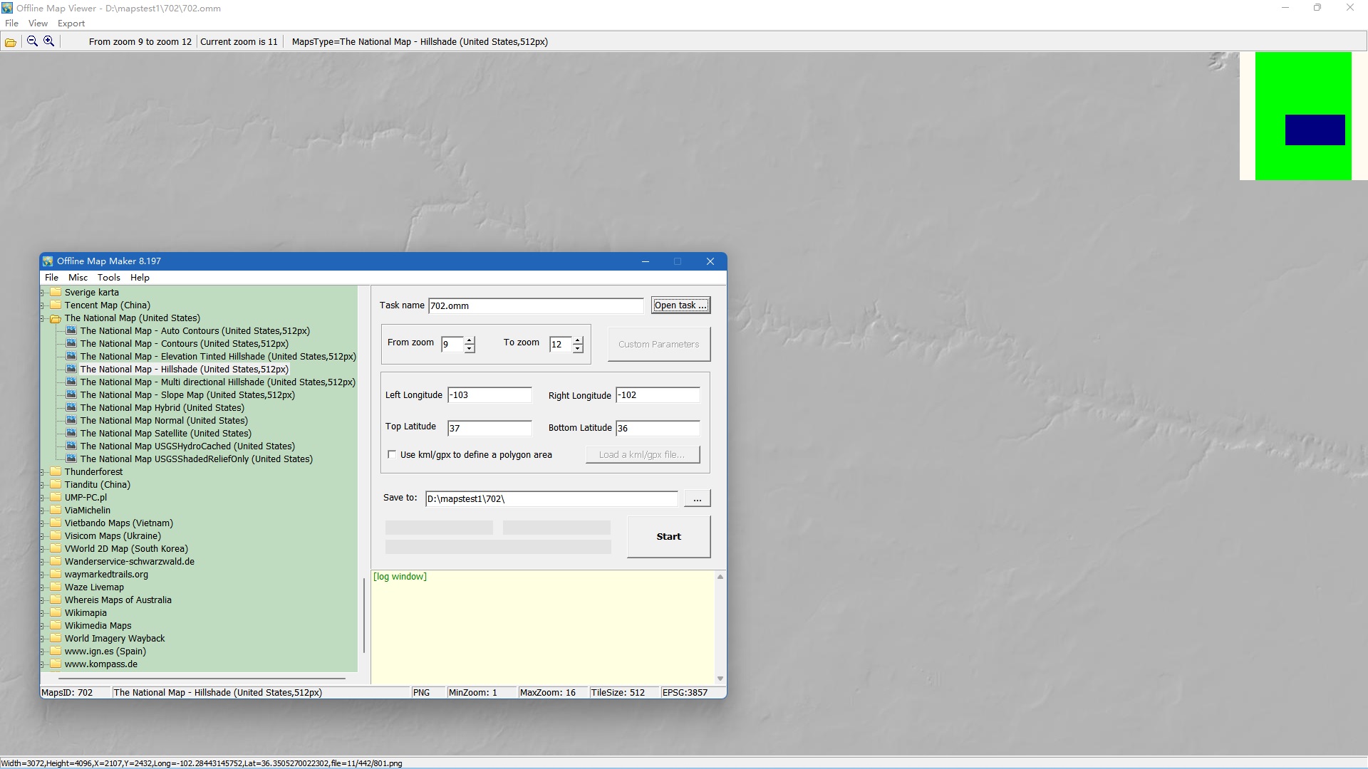 |
| 4 | The National Map - Elevation - Hillshade Gray (United States,512px) | 2413 | tile format: png zoom level:1-16 tile size: 512 |
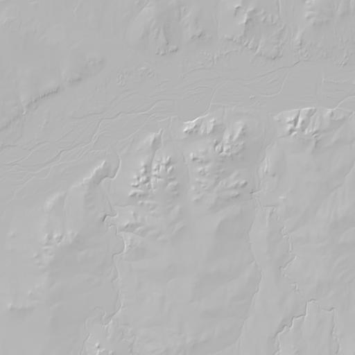 |
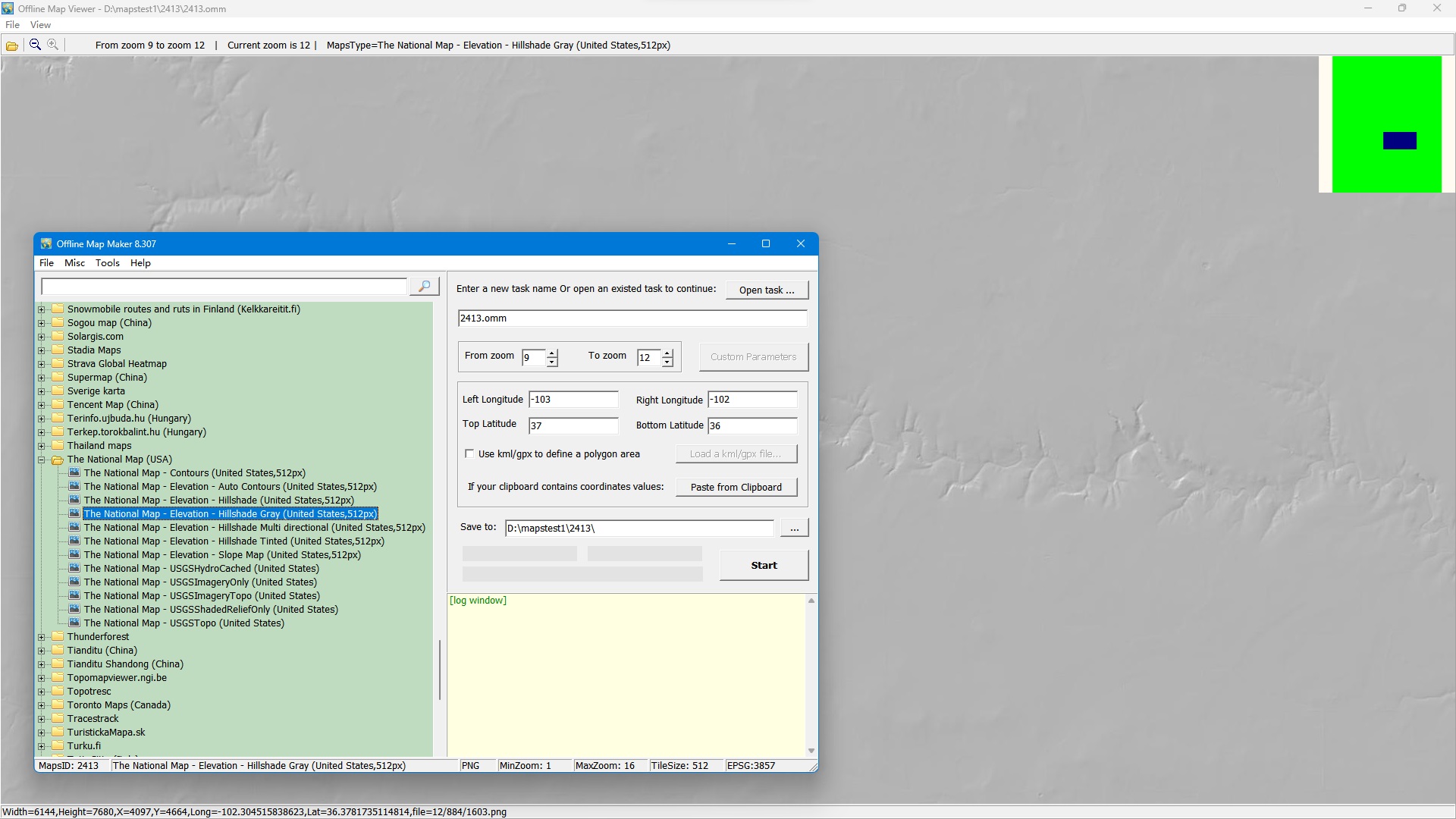 |
| 5 | The National Map - Elevation - Hillshade Multi directional (United States,512px) | 701 | tile format: png zoom level:1-16 tile size: 512 |
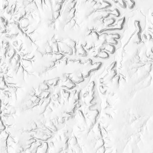 |
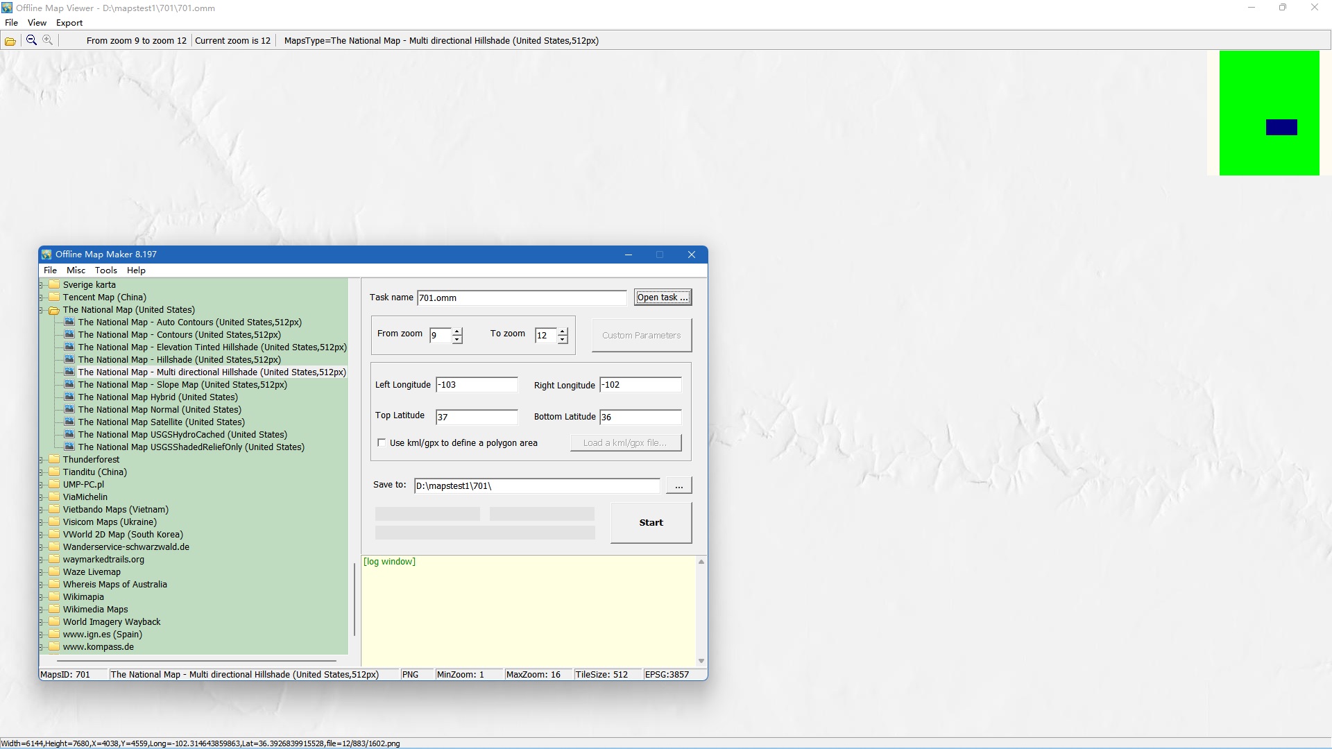 |
| 6 | The National Map - Elevation - Hillshade Tinted (United States,512px) | 700 | tile format: png zoom level:1-16 tile size: 512 |
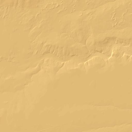 |
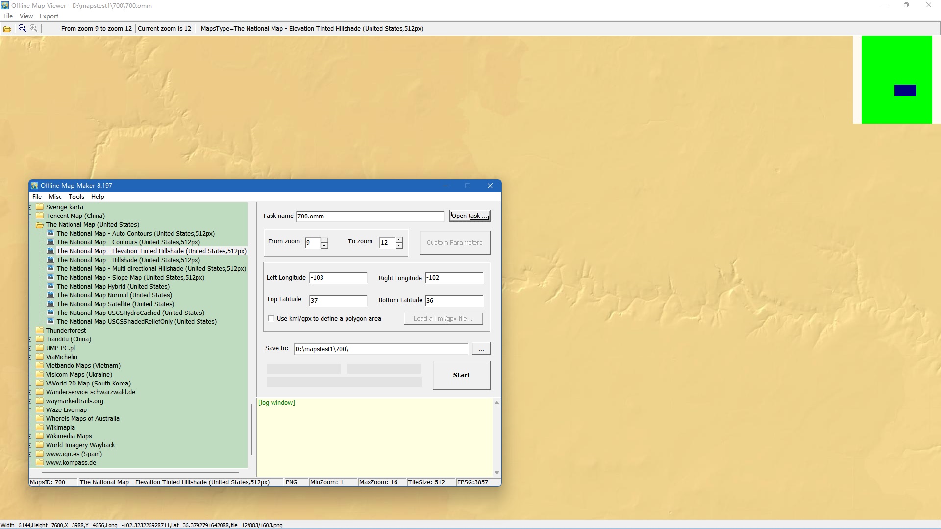 |
| 7 | The National Map - Elevation - Slope Map (United States,512px) | 699 | tile format: png zoom level:1-16 tile size: 512 |
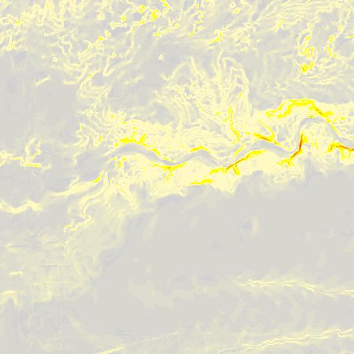 |
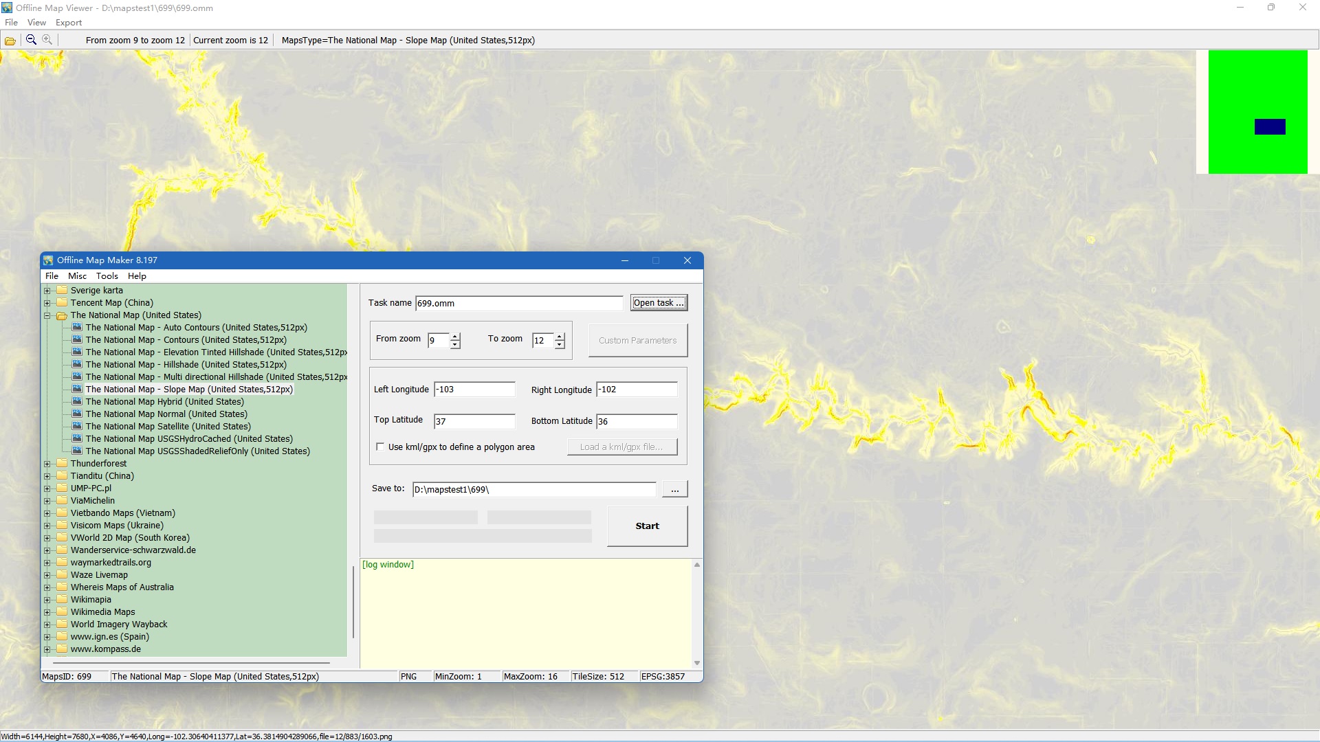 |
| 8 | The National Map - USGSHydroCached (United States) | 376 | tile format: jpg zoom level:1-16 tile size: 256 |
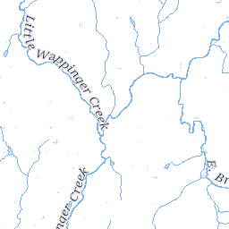 |
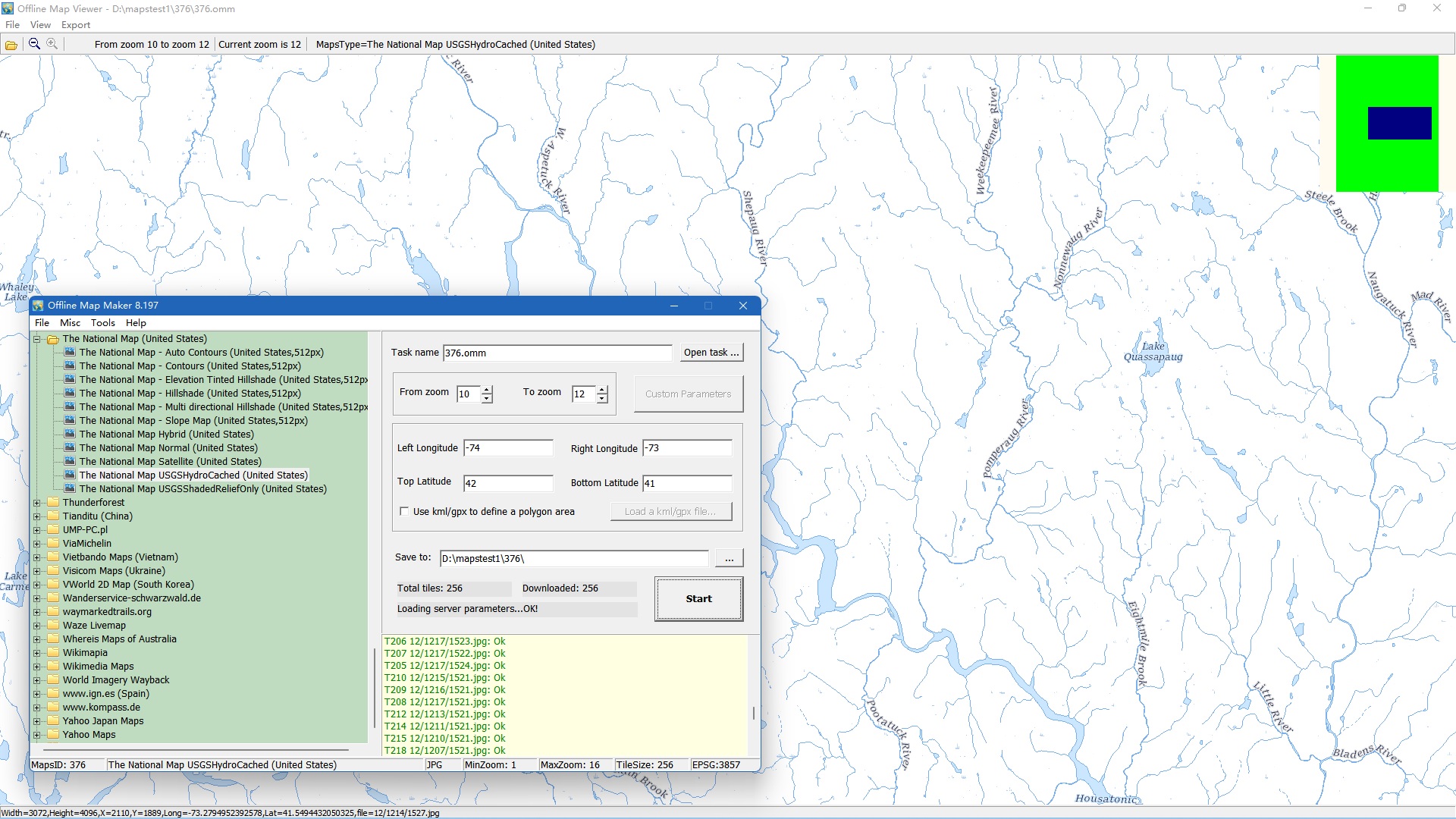 |
| 9 | The National Map - USGSImageryOnly (United States) | 93 | tile format: jpg zoom level:1-15 tile size: 256 |
 |
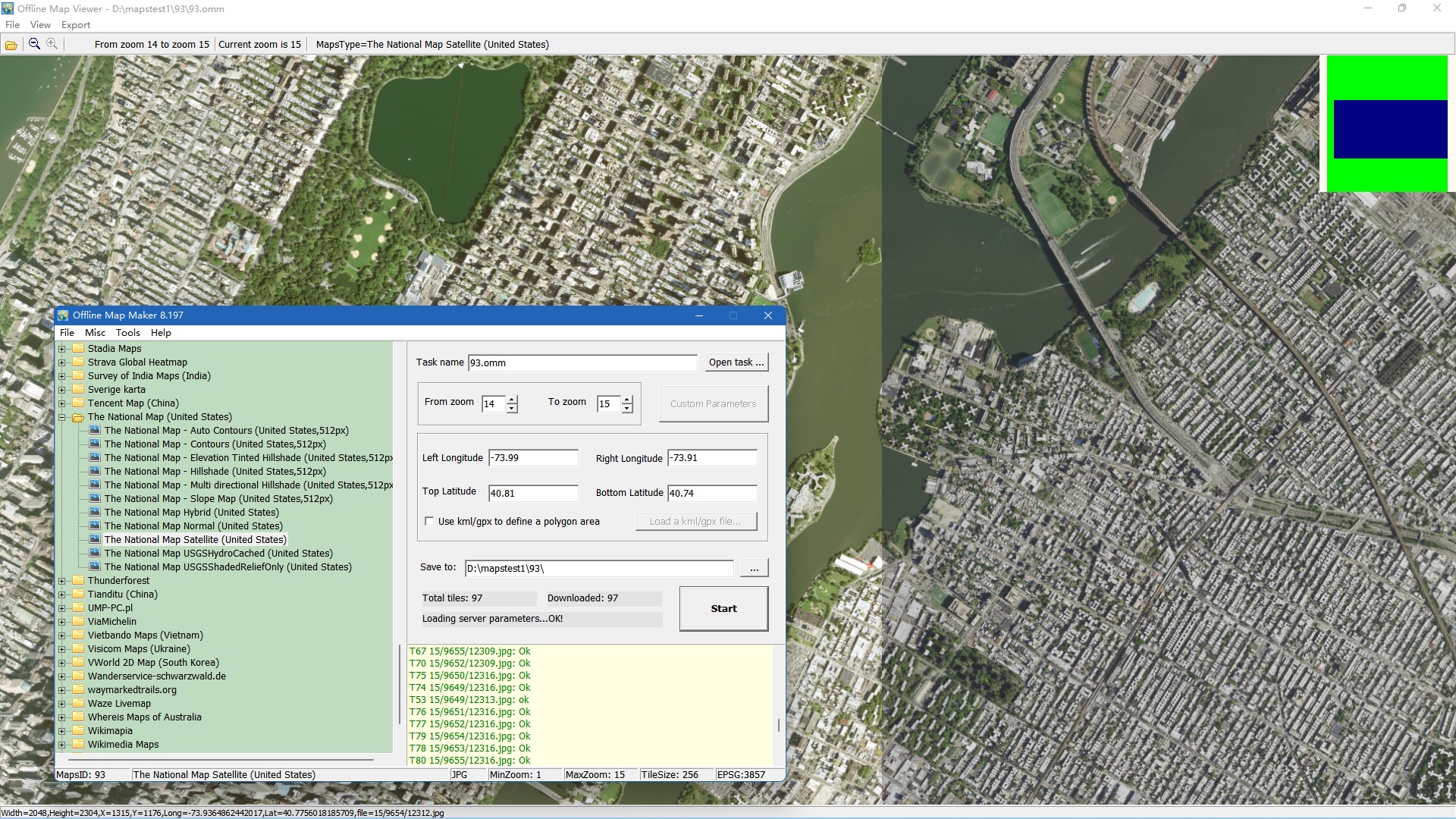 |
| 10 | The National Map - USGSImageryTopo (United States) | 94 | tile format: jpg zoom level:1-15 tile size: 256 |
 |
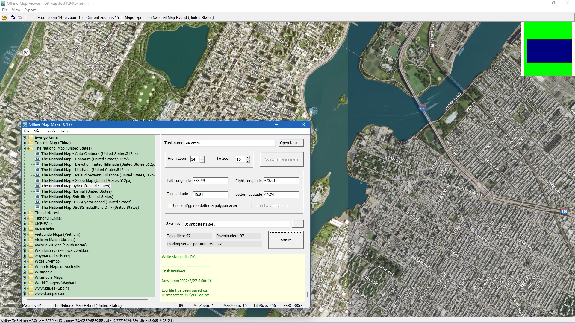 |
| 11 | The National Map - USGSShadedReliefOnly (United States) | 377 | tile format: jpg zoom level:1-16 tile size: 256 |
 |
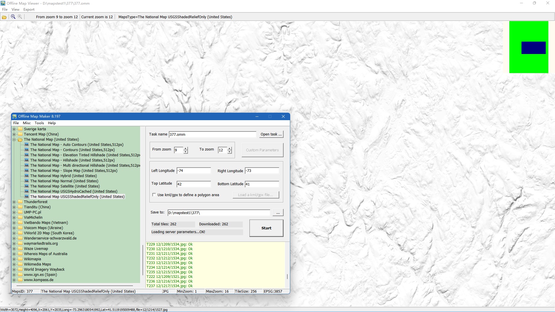 |
| 12 | The National Map - USGSTopo (United States) | 34 | tile format: png zoom level:1-15 tile size: 256 |
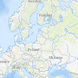 |
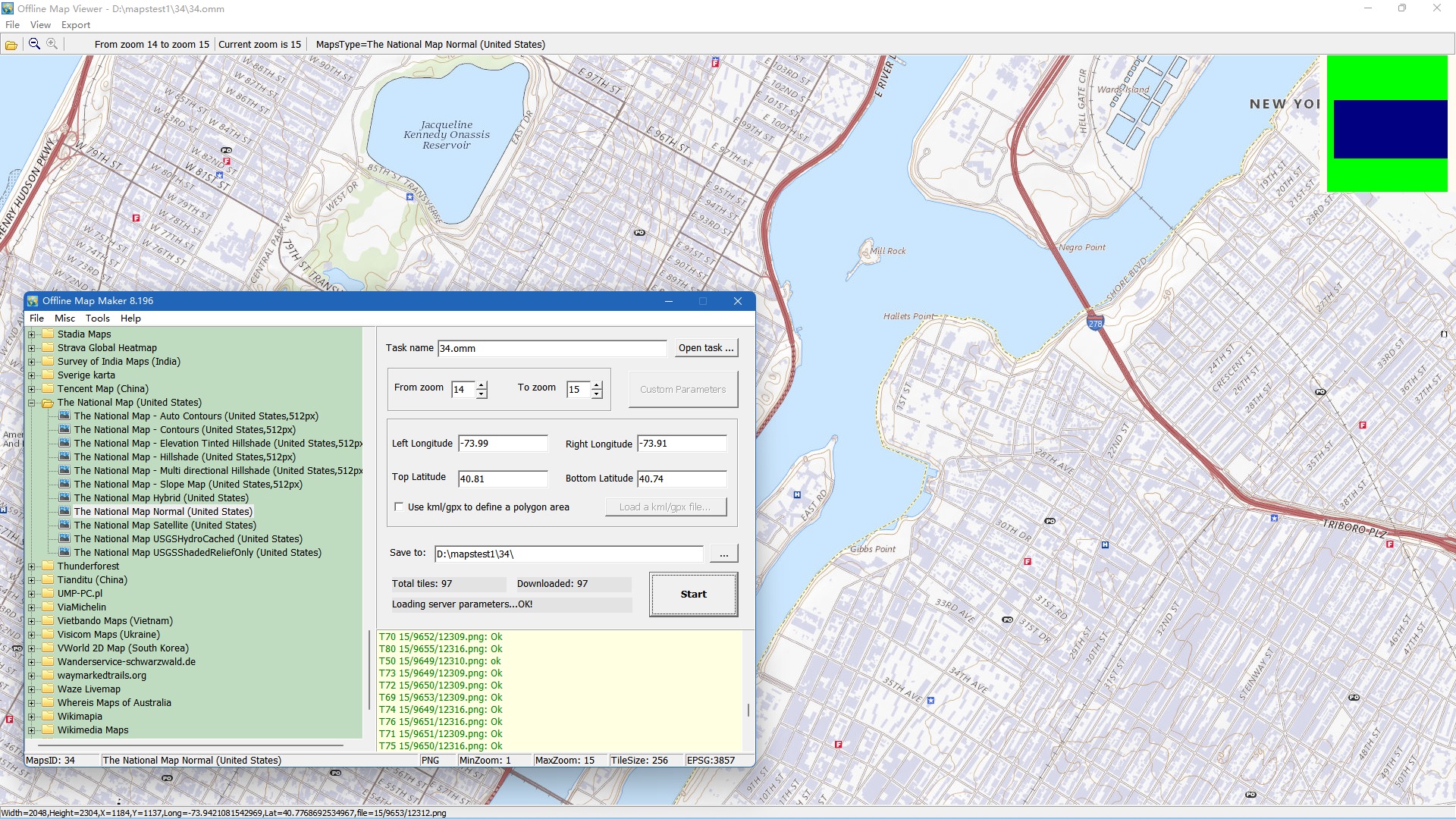 |
此列表中没有匹配的地图类型。请尝试更短的关键词,或重置。
每一款 AllMapSoft 工具都支持数百种地图来源。在做决定之前,先浏览完整索引 —— 或对比各工具支持哪些来源。
所有这些软件均为共享软件:您可以免费下载并试用每一款工具。试用版无法下载高分辨率图像,且可下载的最高缩放级别为 13。
请仅从 www.allmapsoft.com 购买。我们没有分销商或代理商。唯一的结算合作伙伴是 SendOwl 和 FastSpring —— 它们负责处理付款并交付授权,并非代理商。 从其他任何网站购买的授权均非正版、不受支持,并可能被停用。对于未经授权购买造成的损失,我们概不负责。